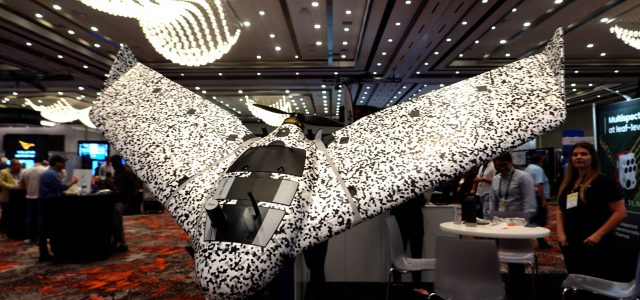
Although it might at first glance be mistaken for a $100 Popwing, the eBee has been a mainstay in the aerial surveying and mapping industry for nearly a decade. The flying wing is renowned for its ease of use: plan a mission on your laptop, take it out to the field, shake it three times and then toss it into the air. A conventional two-stick controller isn’t even option with the eBee—but with a starting price of $13,500, you’re probably better off letting the computer do the flying, anyway.
With its extensive track record of success in civilian operations, eBee’s developer senseFly—acquired by AgEagle from French drone maker Parrot in 2021—decided to create a new version tailored for a group of end-users with an even more urgent and compelling mission: the military.
To help protect forward deployed military personnel, the eBee TAC incorporates encrypted communications and other data security features to prevent it from giving away friendly positions, even if it is captured by the enemy.
Of course, the tactical use of small UAS immediately conjures up images of a live video feed, revealing the bad guys trying to set up an ambush on the opposite side of a hill from friendly forces. However, as a mapping platform, the eBee is ill-suited for that type of real-time reconnaissance. I asked AgEagle’s regional manager for North America, Gary Licquia, to explain conops for the eBee in the battlefield context.
“What we’re doing with eBee is cutting out a step in the process for those guys that are right there on the leading edge,” said Licquia. “Right now, they have to call in for aerial reconnaissance and they might be 15th in line to get a larger asset overhead. So, instead of having to phone the mothership and say, ‘Hey, I need this data,’ they have the drone with them so they can go ahead and do it themselves.”
When the aircraft returns from a mission, the data can be quickly downloaded and assembled into a map using common software tools such as Pix4D React. And, the resulting data is unclassified, so it can be freely shared across different units operating in the battlespace.
The eBee TAC was developed in consultation with military customers and incorporates many features that would be unnecessary, or even counterproductive, in a civilian platform.
“We’ve integrated some security features: we have 256-bit encrypted communications, suppressed flight logs and a secure SD card, so that if anything happens to it, the bad guys aren’t going to be able to pull any useful data off the drone,” Licquia explained. “Also, we can fly without any radio communications at all. You can upload the mission to the drone beforehand, so it’s stored on board, and then you don’t have to communicate with the drone while it’s performing its mission. You can fly in complete blackout mode, so it’s invisible in terms of RF signals.”
The aircraft also incorporates the ability to add bespoke payloads that may be required by certain military applications through an open payload design. Licquia added: “We give them the specifications in terms of the size, the weight, the center of gravity so they can go ahead and integrate it into the drone themselves.”
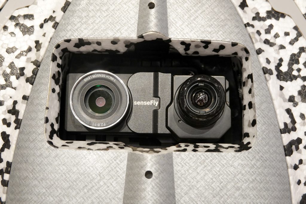
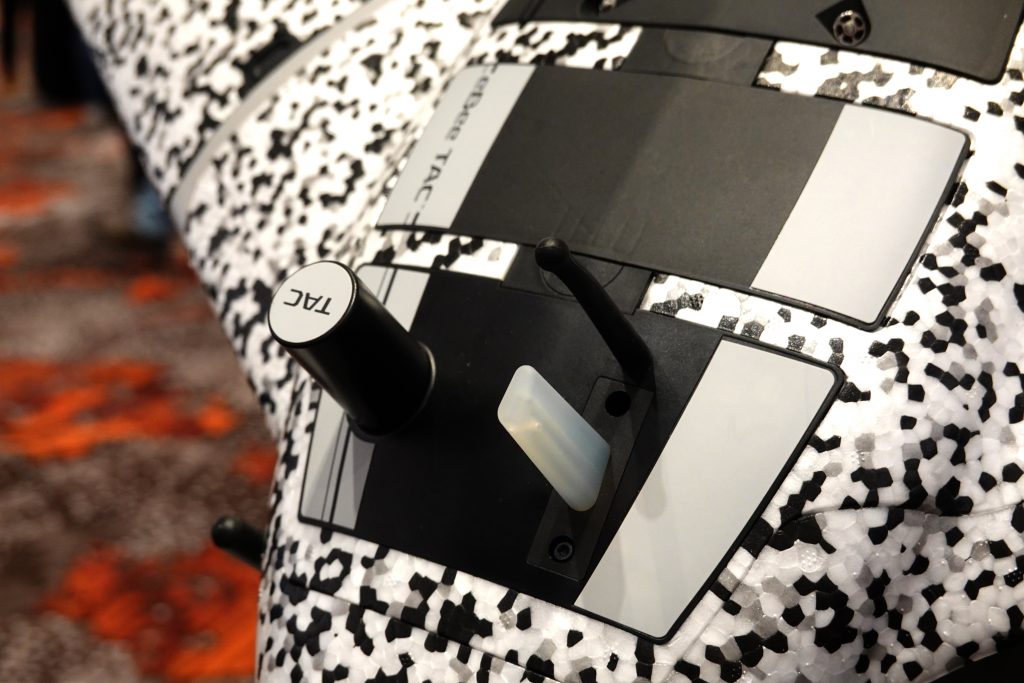
The standard payload for the eBee TAC incorporates both a 20-megapixel visible light camera as well as a 640×512 thermal imaging sensor, allowing vital intelligence to be gathered day or night.
The eBee TAC is capable of flying for up to 90 minutes, giving it the ability to map nearly two square miles at a resolution of 1.5 centimeters per pixel. The eBee’s regular black-and-yellow trim has been changed to a speckled black-and-white surface to camouflage the aircraft, which is undetectable visually and acoustically beyond 1,000 feet.
The stock configuration includes an electro-optical/infrared payload incorporating a 20-megapixel visible light camera as well as 640×512 thermal imaging sensor from FLIR. Standard alternative payloads include the S.O.D.A. 3D visible light camera that incorporates an internal roll-axis gimbal to capture both nadir and oblique imagery to enhance the quality of three-dimensional models constructed using photogrammetry, as well as a 24-megapixel visible light camera optimized for low-light performance.
Equally important for the prospective military user is the fact that the eBee TAC is approved for use in sensitive applications. Indeed, the eBee is the first fixed-wing platform to be recognized as a Blue UAS by the Defense Innovation Unit for use by the United States Department of Defense.
BY PATRICK SHERMAN


