In this article by Faine Greenwood, it would seem that drones can go a long way in helping out, when integrated into other humanitarian efforts after a natural disaster like this earthquake.
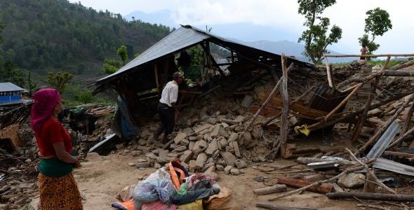
Photo by SAJJAD HUSSAIN/AFP/Getty Images
Nepal has suffered its worst earthquake in 80 years. Across the affected region, which stretches into India and Tibet, the death toll may top 10,000. The poor Asian nation’s limited infrastructure has been stretched to the breaking point by overwhelming need, as first responders attempt to rescue those trapped in remote areas and assess the damage
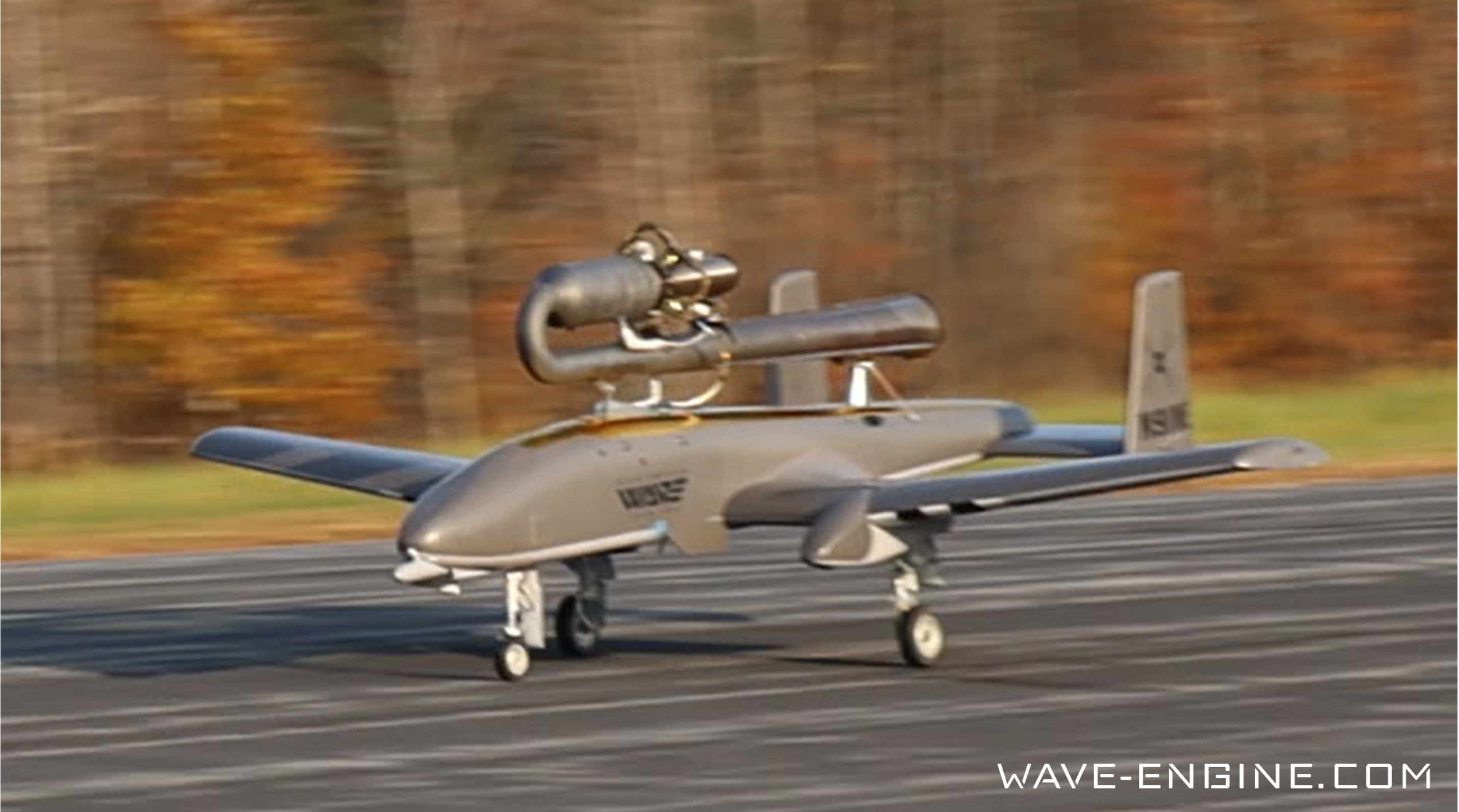
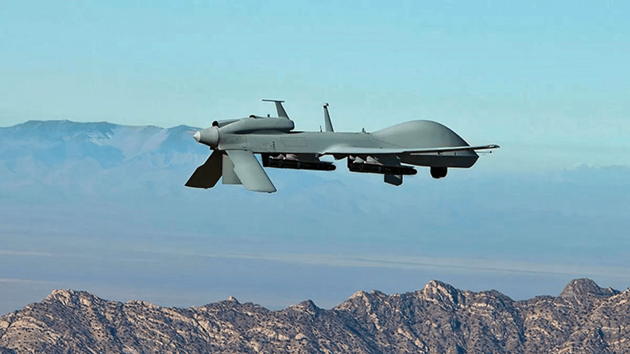
Drones will play a practical part in the national and international relief response to this enormous natural disaster. Nepal is currently suffering from a shortage of available manned helicopters, and drone first responders hope that their camera-bearing robots will be able to fill in some of the gaps, leaving precious helicopters for rescue missions.
Unmanned aerial vehicles, or UAVs, are valuable in several ways. A drone video of the devastation in Kathmandu demonstrates their considerable worth as a storytelling tool. With crumbled Buddhist temples and crowds of frightened Nepalese victims, Kishor Rana’s drone video, uploaded to YouTube on Monday, is a powerful visual record of the destruction the earthquake has wrought.
Drones will also be used for more comprehensive data collection and mapping of the destruction. Why use drones for disaster response instead of ground surveys, manned aircraft, or satellite imagery? All of these more traditional tactics remain important, but UAVs play a complementary role. Ground-based field surveys take a long time to carry out and are especially difficult to manage in the rough terrain of the Himalayas, while quick-moving UAVs can cover as much as 5 to 10 square kilometers in a matter of hours, at a very high resolution.
Nepal Earthquake April 2015 UAV Drone Aerial footage from Andy Trench on Vimeo.
Weather is another factor: Small UAVs can be deployed below cloud cover that hampers satellite imagery visibility, a particular problem in Nepal, where overcast conditions have made gathering post-disaster satellite visuals difficult over the past few days.
The drones headed to Nepal are coming from around the world. For instance, India has announced it’s sending UAVs to the disaster area, and the Canadian relief charity GlobalMedic has already begun flying UAVs in the Nepalese disaster area, using machinery supplied by Ontario-based Aeryon Labs.
check out the rest of the story at Slate.com or click here


